| Click on Photos to Enlarge | |||||
 |
 |
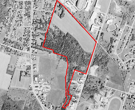
The aerial photograph below was taken by the Department of Agriculture and Forestry as part of the 2000/02 Corporate Land Use Inventory Project. | |||
 |
|||||
 |
 |
||||
 |
|||||
 |
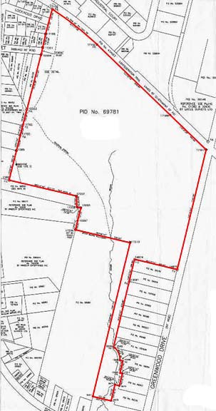
The above map was taken from the property Survey September 2007. |
||||
 |
|||||